Agriculture
Crop condition, yield estimates and irrigation advice by field, updated through the season.
Vegetation indices plus rainfall and growing degree days
Yuehexin brings imagery and weather data from China's commercial constellations to buyers worldwide. Order archive scenes, task new captures, or subscribe to ready-made monitoring for crops, assets and risk.
We source from multiple Chinese commercial operators, so you compare resolution, revisit and price in one place instead of negotiating with each one.
Sub-metre to 5 m imagery with frequent revisit over most of the globe. Good for mapping, construction tracking and site checks.
Archive and new tasking. GeoTIFF, COG.
Sees through cloud and at night. Used for flood extent, ship detection and millimetre-scale ground movement with InSAR.
SLC, GRD, change maps.
Dozens of narrow bands to separate crop types, mineral signatures and water quality.
Calibrated reflectance cubes.
Global gridded forecasts, nowcasting and typhoon tracks, combined with satellite cloud imagery and historical climate records.
REST API, GRIB2, NetCDF.
Most customers don't want raw scenes. We combine imagery with weather to deliver the measurement their work depends on.
Crop condition, yield estimates and irrigation advice by field, updated through the season.
Vegetation indices plus rainfall and growing degree days
Parametric triggers, rapid post-event loss assessment and catastrophe model inputs.
SAR flood maps plus hazard weather records
Flood, wildfire, earthquake and typhoon mapping within hours, day or night.
All-weather radar plus early warnings
Solar and wind site screening, power output forecasts and pipeline corridor patrol.
Irradiance and wind forecasts plus imagery
Construction progress, urban growth and ground subsidence for large overseas projects.
High-resolution optical plus InSAR
Vessel detection, port activity, sea ice and route weather for shipping operators.
Radar and optical plus ocean forecasts
Site monitoring, tailings checks and environmental compliance reporting.
Hyperspectral plus high-resolution optical
Deforestation alerts and biomass estimates for carbon projects and EUDR due diligence.
Optical and radar time series
Harvest forecasts and activity indices for traders and investors.
Remote sensing indicators plus weather
The same place looks different to each sensor. Combining them gives an answer that no single image can.
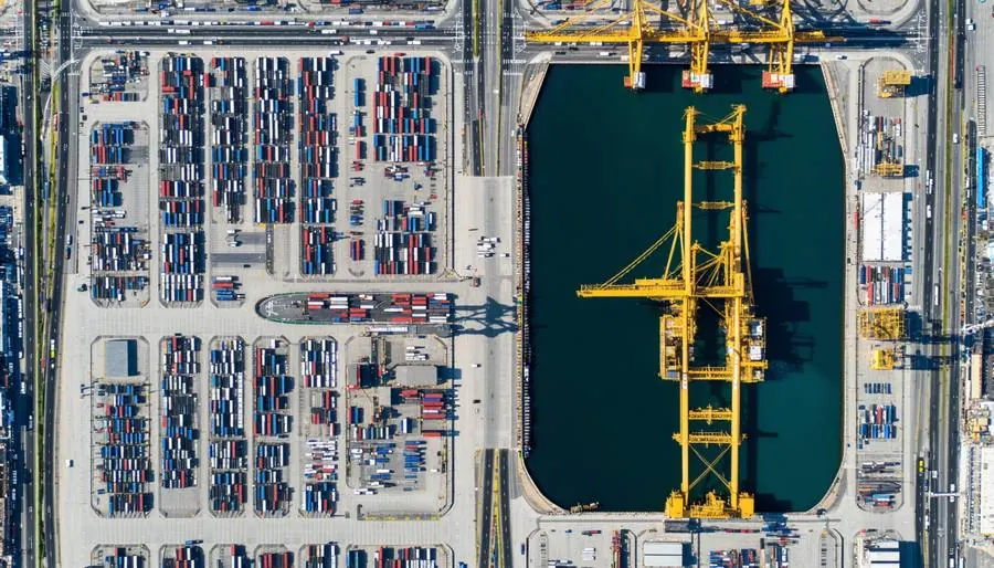
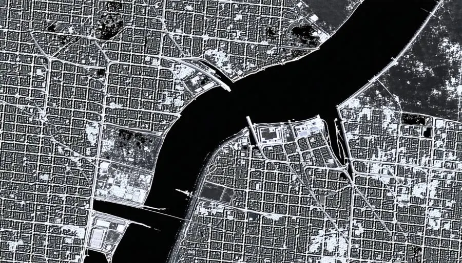
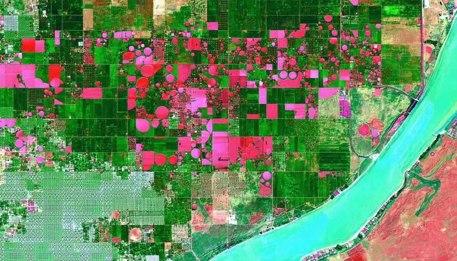
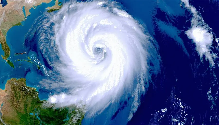
Illustrative imagery.
We work with China's commercial operators and public weather missions. Each order names the satellite and operator, so you always know where your data comes from.
High-resolution imaging
Best for mapping, construction and site checks.
All-weather, day and night
Best for floods, ships and ground movement.
Material and crop identification
Best for crop types, minerals and water quality.
Observation and forecasting
Best for forecasts, nowcasts and climate risk.
| Mission | Operator | Sensor | Typical use |
|---|---|---|---|
| Jilin-1 | Chang Guang Satellite Technology | Optical, video | Frequent revisit, change detection |
| Beijing series | Twenty First Century Aerospace Technology | Optical | Wide-area mapping |
| SuperView (Gaojing) | China Siwei | Optical | Very high resolution detail |
| Tianyi SAR | Spacety | SAR | All-weather monitoring |
| Galaxy Space SAR | Galaxy Space | SAR | Disaster and infrastructure |
| Haisi series | Commercial operator | SAR | Ocean and coastal watch |
| Zhuhai-1 | Orbita Aerospace | Hyperspectral, video | Crops, minerals, water quality |
| Fengyun | China's public weather program | Meteorological | Cloud imagery, climate records |
# Find cloud-free optical scenes over a farm in Kazakhstan
POST /v1/catalog/search
{
  "intersects": { "type": "Point",
                  "coordinates": [71.43, 51.13] },
  "datetime": "2026-06-01/2026-08-31",
  "layers": ["optical"],
  "filter": { "cloud_cover": { "lt": 10 },
              "gsd_m": { "lte": 1.0 } }
}

# Add a 7-day rainfall forecast for the same point
GET /v1/weather/forecast?lat=51.13&lon=71.43
    &vars=precip,t2m&days=7
Start small with a single archive scene, or hand us an entire region to watch all year.
Existing scenes, priced per square kilometre and delivered within hours.
New captures scheduled for your area and dates, on optical or radar satellites.
An annual subscription with repeat coverage and change alerts for your sites.
Finished results such as yield, flood extent or subsidence, with no imagery skills needed.
Need an image that doesn't exist yet? We schedule a satellite to take it.
Upload a boundary or draw it on the map. Set the date window and resolution.
We confirm which satellites can reach it, when, and the price, usually within one working day.
Optical or radar passes are scheduled. You see each attempt and the cloud cover.
Processed files arrive by API, cloud bucket or download, with the analysis if you ordered it.
We start where Chinese data offers the best value and where partners on the ground can support you directly.
Now
Agriculture, disaster response, infrastructure and government mapping, delivered with local resellers.
Expanding
Crop monitoring, mining and energy projects, plus programmes funded by development banks.
Selected sectors
Forest and carbon verification, agricultural insurance, and EUDR supply-chain checks.
Short answers to what buyers ask first. For anything else, email our sales team.
Yes. That is our core business. Every order is cleared for export under Chinese regulations, and we deliver worldwide by API, cloud bucket or download.
It combines high revisit and competitive pricing, with strong coverage of Asia, the Middle East, Africa and Latin America. Many customers use it alongside their existing suppliers.
Archive is imagery already captured, so it is cheaper and faster. Tasking schedules a satellite to capture your area on the dates you need.
No. Our analytics deliver finished results such as crop condition, flood maps or ground movement, ready for your reports and systems.
Imagery comes as GeoTIFF or Cloud Optimized GeoTIFF, with a STAC catalog. Weather data comes as GRIB2, NetCDF or JSON over REST.
Send your area and use case to [email protected] or use the form below. We reply with available data and an example result.
Share a location and what you need to measure. A specialist will reply within two working days with available data, an example result and pricing.